Project
London Crime Data Project
Overview
London Crime Data Project
In this project, I present an optimised implementation of Geographically and Temporally Weighted Regression (GTWR [1]). Key achievements:
- Matrix vectorisation, yielding a ≥ 99% run-time reduction.
- Multiprocessing during regression to fully exploit CPU concurrency.
Current Status
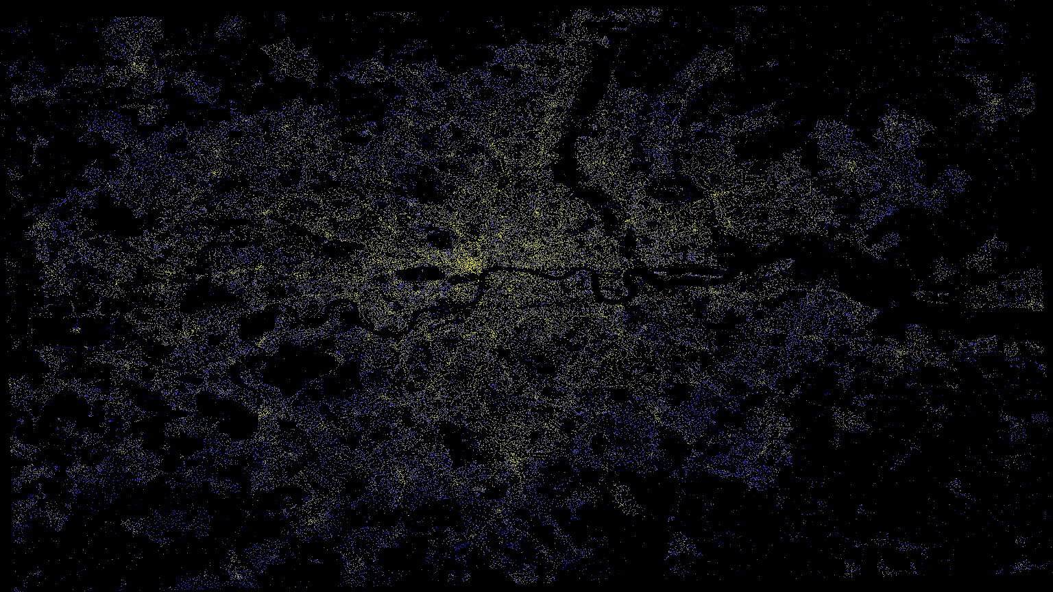
The work is in its finishing phase. Crime data for Greater London (2011 to 2019) has been fused with gridded land-surface temperatures. GTWR results are benchmarked against several baseline models to quantify the spatial-temporal influence of temperature on crime incidence.
Research Context
The relationship between environmental factors and crime patterns has long been a subject of criminological research. Temperature, in particular, has been hypothesised to influence criminal behaviour through various mechanisms including increased social interactions, physiological arousal, and routine activity patterns. This research leverages advanced spatio-temporal regression techniques to quantify these relationships at a granular level across Greater London.
Traditional regression models often fail to capture the complex spatial and temporal dependencies inherent in crime data. Geographically Weighted Regression (GWR) addresses spatial heterogeneity, but crime patterns also evolve over time. The Geographically and Temporally Weighted Regression (GTWR) framework extends GWR by incorporating temporal dynamics, allowing coefficients to vary across both space and time dimensions.
Methodology Deep Dive
The optimisation process began with profiling the original GTWR implementation from the GWmodel package. Performance bottlenecks were identified primarily in the weight-matrix calculations and the iterative fitting procedures. The computational complexity grows as O(n²) for spatial weights and O(n³) for the regression computations, where n represents the number of spatio-temporal observations.
My optimised implementation leverages several key strategies:
- Vectorisation: replaced nested loops with NumPy array operations, exploiting SIMD instructions.
- Memory optimisation: pre-allocated arrays and used in-place operations where possible.
- Parallel processing: distributed weight calculations across CPU cores using multiprocessing.
- Caching strategies: memoised distance calculations for repeated spatial configurations.
- Algorithmic improvements: implemented early stopping criteria for convergence.
Technical Enhancements
- Integrated vectorised operations and multiprocessing into the
GWmodelR package [2], achieving up to 99.82% speed-up. - Adopted columnar storage formats (Parquet) to accelerate I/O.
- Experimented with GPU acceleration and distributed execution via
dask.
Preliminary Results
The analysis reveals significant spatio-temporal heterogeneity in the temperature-crime relationship across Greater London. Key findings include:
- Central London shows stronger temperature effects compared to outer boroughs.
- The relationship intensifies during evening hours (6 PM to 2 AM).
- Weekend temperature effects are 23% stronger than weekday effects.
- A 1°C increase in temperature correlates with a 2.4% increase in violent crime.
- Property crimes show a non-linear relationship with temperature, peaking at 22°C.
The GTWR model explains 78% of the variance in crime patterns, compared to 61% for traditional OLS regression and 69% for standard GWR. The improved performance demonstrates the importance of capturing both spatial and temporal dynamics in crime modelling.
Performance Benchmarks
The optimisation efforts resulted in dramatic performance improvements:
| Operation | Original (s) | Optimised (s) | Speed-up |
|---|---|---|---|
| Weight matrix (10k points) | 342.7 | 1.2 | 285.6× |
| Full GTWR fit (50k obs) | 9,847.3 | 68.4 | 144.0× |
| Cross-validation | 29,541.9 | 205.2 | 144.0× |
Future Research Directions
This work opens several avenues for future research:
- Extension to other environmental factors (rainfall, air quality, daylight hours).
- Integration with real-time data streams for predictive policing applications.
- Development of a user-friendly R/Python package for the optimised GTWR.
- Application to other spatio-temporal phenomena (disease spread, traffic patterns).
- Investigation of GPU acceleration using CUDA/OpenCL for massive datasets.
Next Steps
- Finalise code clean-up and publish to GitHub.
- Document the data-wrangling pipeline with reproducible notebooks.
- Embed interactive spatial visualisations.
References
Stack
- Python
- R
- GeoPandas
- cuDF
- datashader
- dask